No Watches, Warnings, or Advisories are currently in effect for our area.

spacer
  Sunday

Sunday: Sunny
Sunny
Columbus
Day
Columbus Day: Sunny
Sunny
Tuesday

Tuesday: Chance Rain Showers
Chance Rain Showers
Wednesday

Wednesday: Sunny
Sunny
Thursday

Thursday: Sunny
Sunny
Friday

Friday: Sunny
Sunny
Saturday

Saturday: Sunny
Sunny
  High: 59 °F High: 55 °F High: 47 °F High: 47 °F High: 51 °F High: 55 °F High: 57 °F
 
Overnight

Overnight: Mostly Clear
Mostly Clear
Sunday
Night
Sunday Night: Mostly Clear
Mostly Clear
Monday
Night
Monday Night: Slight Chance Rain Showers
Slight Chance Rain Showers
Tuesday
Night
Tuesday Night: Chance Rain Showers then Partly Cloudy
Chance Rain Showers then Partly Cloudy
Wednesday
Night
Wednesday Night: Clear
Clear
Thursday
Night
Thursday Night: Clear
Clear
Friday
Night
Friday Night: Mostly Clear
Mostly Clear
 
Low: 32 °F Low: 34 °F Low: 30 °F Low: 27 °F Low: 29 °F Low: 32 °F Low: 34 °F  

Ben's Weather Summary - Updated: Saturday, Oct 11 @ 11:35pm
Looking at a nice fall weekend out there with major cool-down expected through next week as we experience our first winter-like storm system of the season! Expect mostly sunny skies Sunday with highs in the 50s, west to northeast winds 10-15 mph at times. A closed low-pressure system will dig south off the California Coast on Monday for increasing clouds and wind throughout the day. Highs will remain in the 50s with west winds 15-25 mph and gusts to 35 mph possible. This storm will roll inland across Central California on Monday night, pushing a weakening cold front south through our area with showers developing Monday night into Tuesday. The snow level may even dip down around 5,000 feet, bringing our first few flakes of the season. Precipitation amounts look relatively light south of LA, where a half inch of rain is possible with a couple inches of snow across the higher elevations, mainly above about 6,000 feet. Colder by midweek as highs drop into the 40s with lows down in the 20s. Low pressure will exit eastward on Wednesday with continued cool and breezy conditions through the end of the week, warming slightly next weekend.

Current Conditions Wind Rain Outlook
Currently: 26.6, Max: 43.5, Min: 26.6 26.6°F
Colder 0.9°F than last hour.

Uncomfortably Cold

Feels like: 27°F

24-hr difference
-30.5°FColder 30.5°F than yesterday at this time.
  Today Yesterday
High: 43.5°F
12:00am
66.9°F
12:47pm
Low: 26.6°F
6:34am
43.5°F
11:59pm
 Calm N
0
Gust:
0 mph
Calm
Today: 0 mph 9:33am
Gust Month: 26.0 mph
October 11
Rain Today: 0 in
Rain Rate (/hr): 0 in
Rain Yesterday: 0 in
This Month: 0.02 in
Season Total: 0.02 in
1 rain day in October.
Sunday

Sunday: Sunny
Sunny
Humidity & Barometer Snowfall Moon
Humidity: 56 % Decreased 8.0% since last hour.
Dew Point: 13°F Decreased 4.0°F since last hour.
Barometer: 29.83 inHg Rising 0.02  inHg/hr
Baro Trend: Rising slowly
Snow Today: 0 in
Yesterday: 0 in
This Month: 0 in
Season Total: 0 in
Waning Gibbous
Waning Gibbous, Moon at 20 days in cycle
63%
Illuminated
UV Index Solar Radiation
   0.0    None
High: 0.0 @ 12:00am
0 W/m2 (0 %)
High: 0 @  12:00am


Live Cams


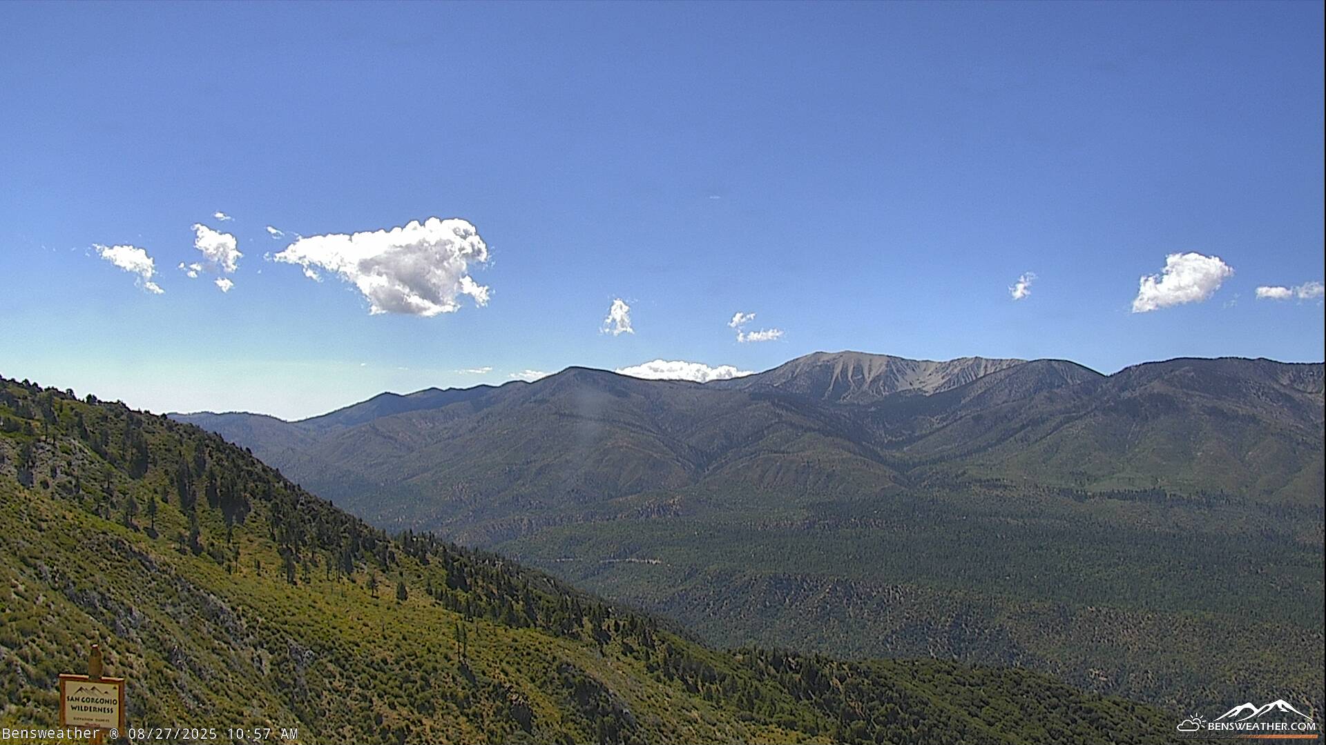
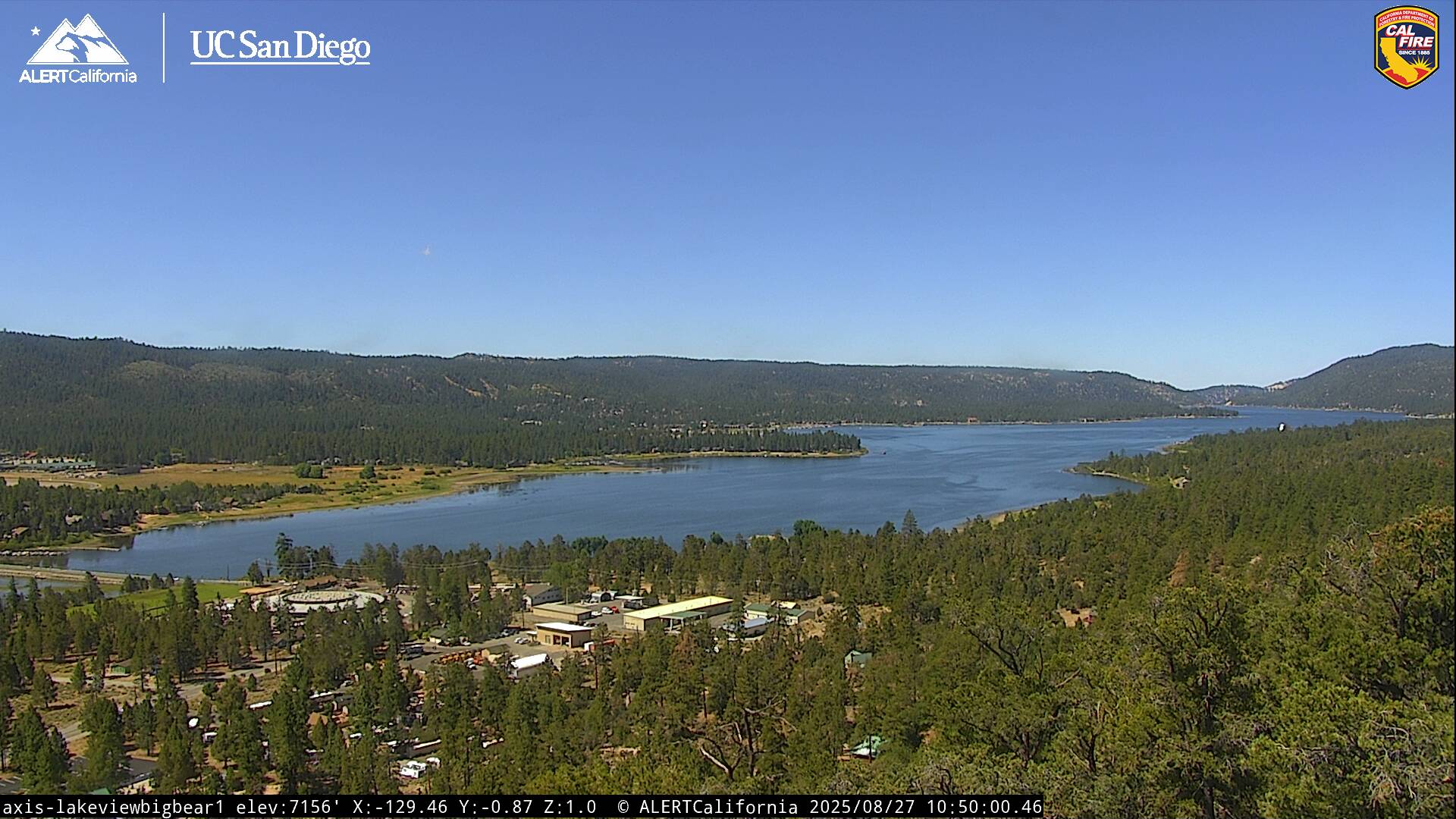
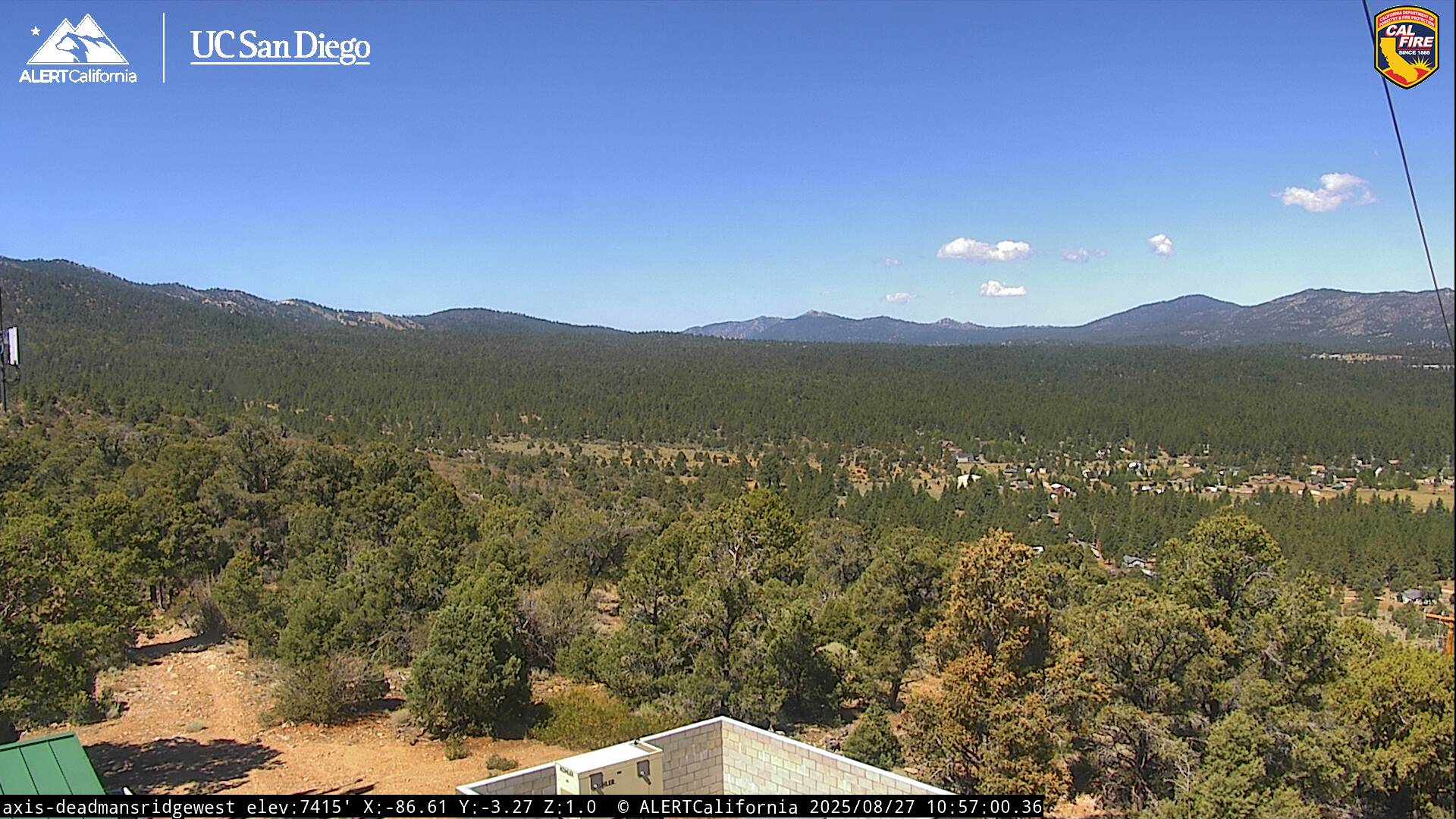
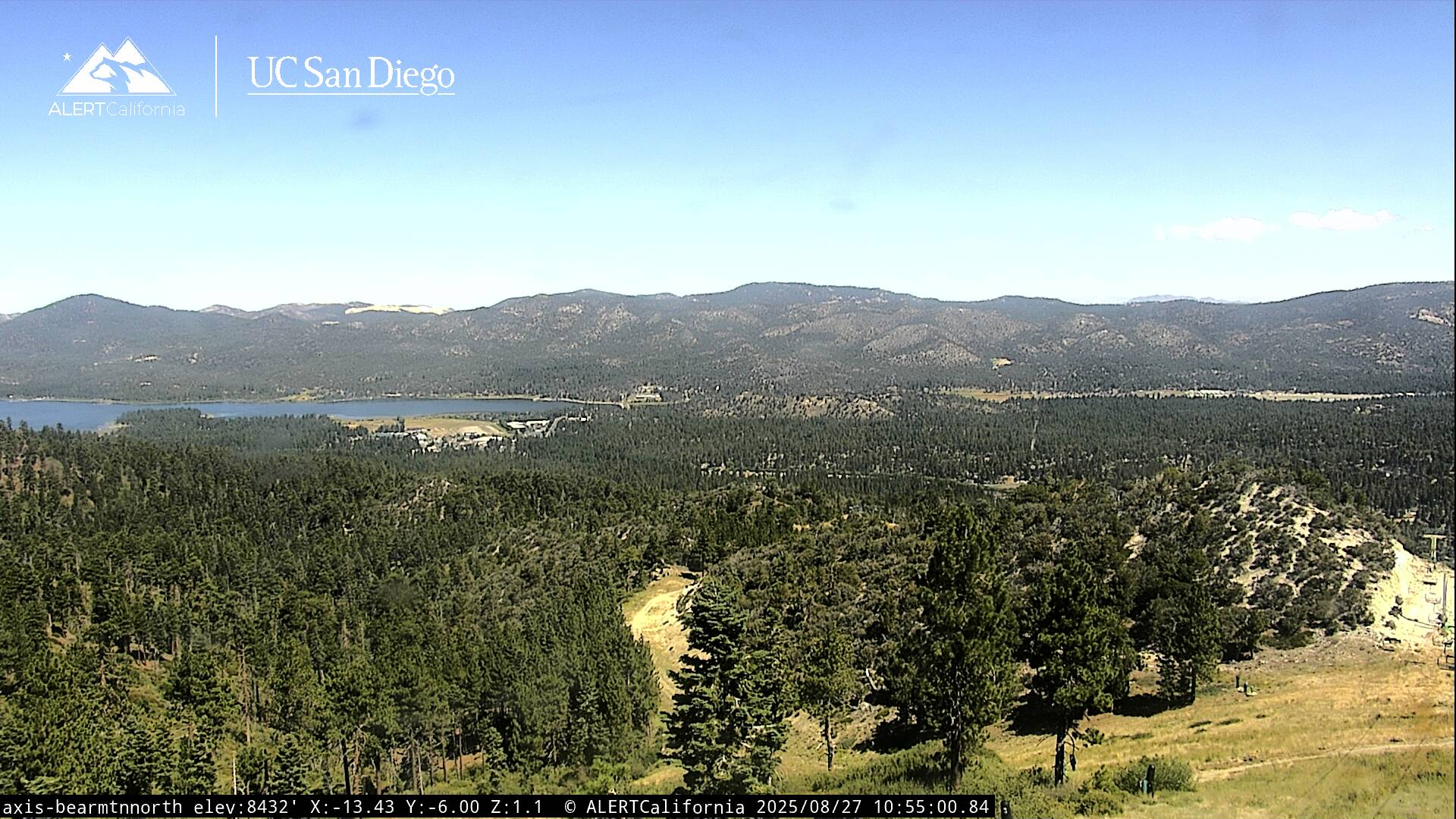
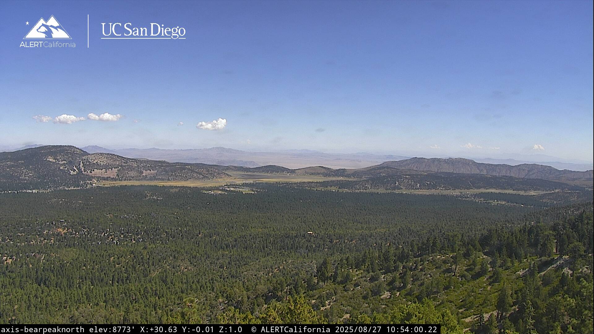
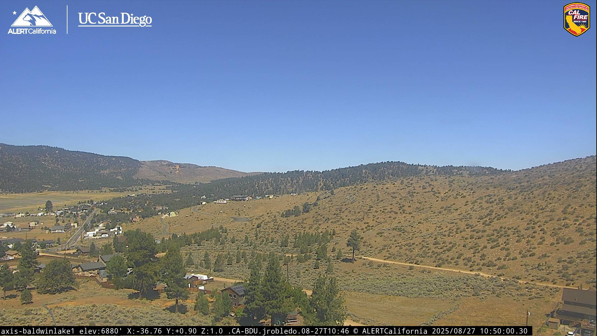
San GorgonioBig Bear LakeErwin Lake
Goldmine MtnBear PeakBaldwin Lake
Custom Radar IR Satellite

Bensweather.com Official Sponsors...