
Tuesday Chance Showers And T-Storms |
Wednesday Mostly Sunny then Slight Chance Showers And T-Storms |
Thursday Slight Chance Showers And T-Storms |
Friday Chance Showers And T-Storms |
Saturday Chance Showers And T-Storms |
Sunday Slight Chance Showers And T-Storms |
Monday Chance Showers And T-Storms |
|
| High: 79 °F | High: 83 °F | High: 83 °F | High: 79 °F | High: 78 °F | High: 81 °F | High: 80 °F | |
Overnight Mostly Clear |
Tuesday Night Mostly Clear |
Wednesday Night Mostly Clear |
Thursday Night Mostly Clear |
Friday Night Mostly Clear |
Saturday Night  Slight Chance Rain Showers then Mostly Clear |
Sunday Night Mostly Clear |
|
| Low: 47 °F | Low: 49 °F | Low: 50 °F | Low: 48 °F | Low: 49 °F | Low: 49 °F | Low: 51 °F | |
Ben's WX Summary
- Updated: Monday @ 05:08pm
A very moist southeast flow continues to advect monsoon moisture into the region for a chance of showers and thunderstorms. Lots of debris clouds from previous days' storms to our east keeps putting us under overcast skies, which was the case again today. This tends to limit the surface heating needed for instability and thunderstorm development. If we can start the day off under clear skies, we should have a fairly active day tomorrow. Though a few locations today did pick up around a quarter inch of rain. Expect mostly cloudy skies through this evening with a few showers or isolated thunderstorm possible. Looking at partly to mostly cloudy skies again on Tuesday, with scattered afternoon thundershowers possible. Some storms may be capable of producing very heavy rainfall, gusty winds, frequent lightning, and small hail, head indoors when thunder roars. Continued cool and breezy with highs in the mid to upper 70s. We'll increase the heat a bit through the end of the week as highs reach the lower 80s, with warm and humid weather sticking around through the weekend. This will keep the potential for afternoon showers and thunderstorms in the forecast for now.
| Current Conditions | Wind | Rain | Outlook | ||||||||||||||||||||||||||||||||||||
|
|
|
|
||||||||||||||||||||||||||||||||||||
| Humidity & Barometer | Snowfall | Moon | |||||||||||||||||||||||||||||||||||||
|
|
|
|||||||||||||||||||||||||||||||||||||
| UV Index | Solar Radiation | ||||||||||||||||||||||||||||||||||||||
|
|
||||||||||||||||||||||||||||||||||||||


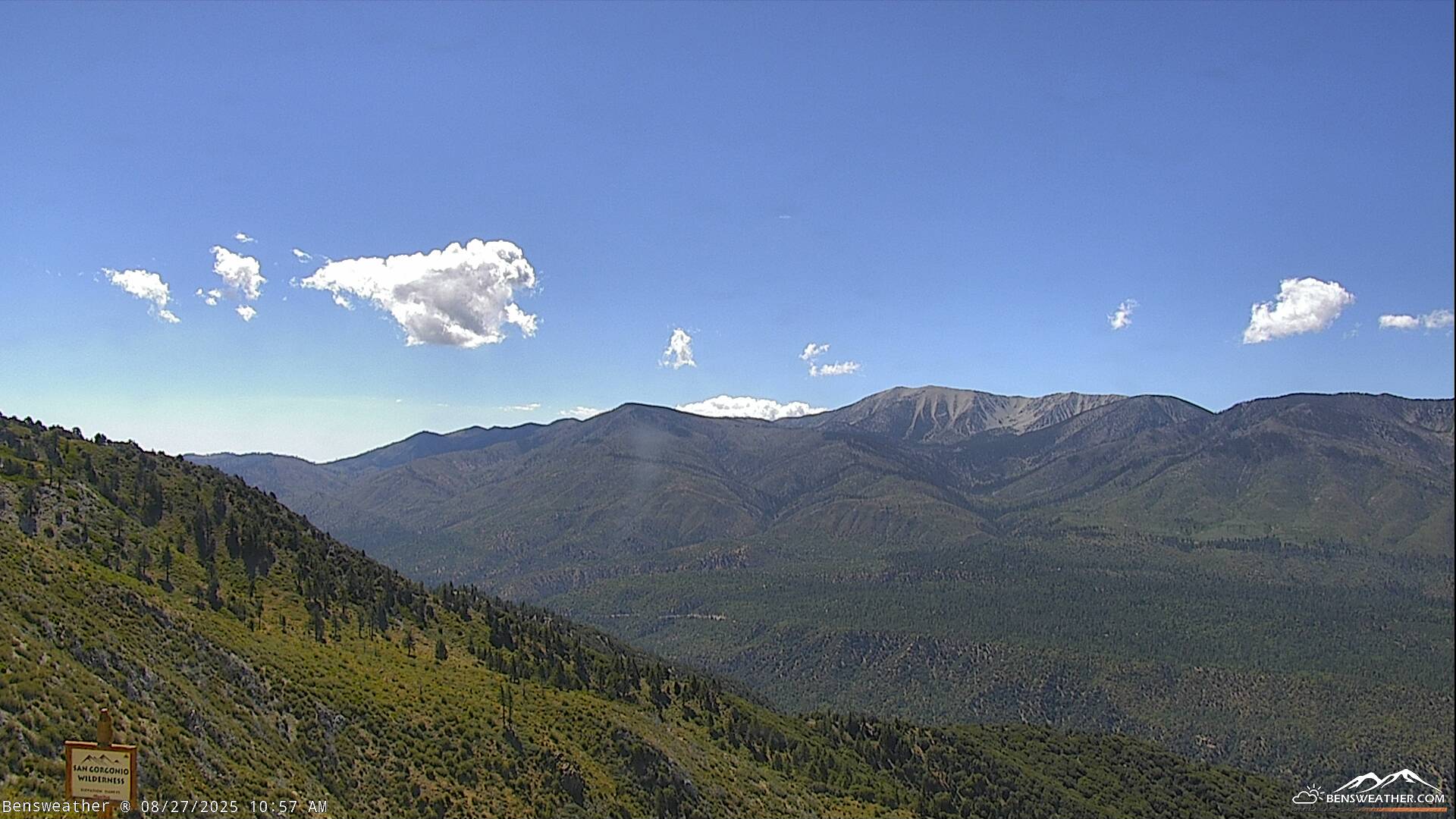
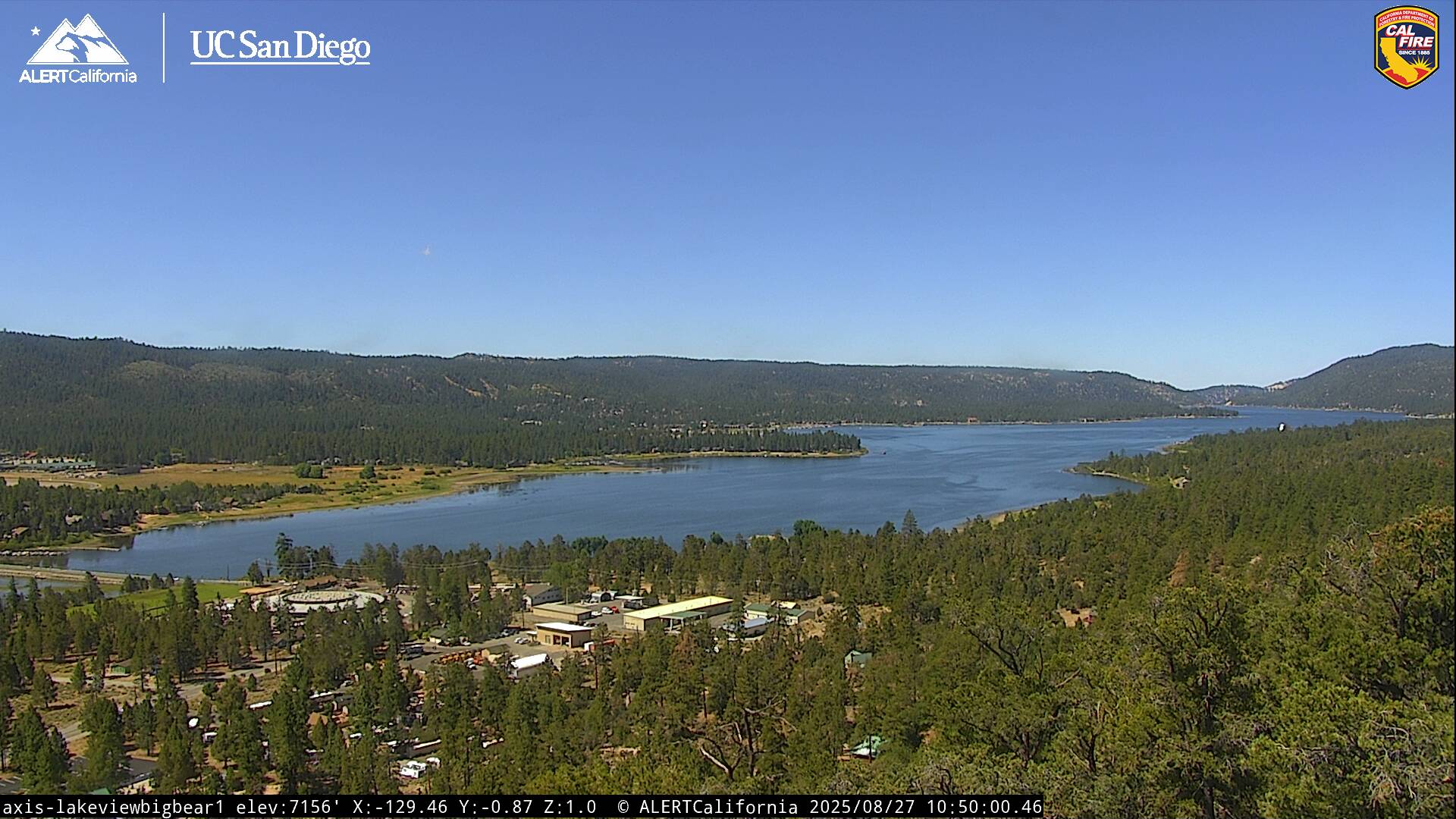
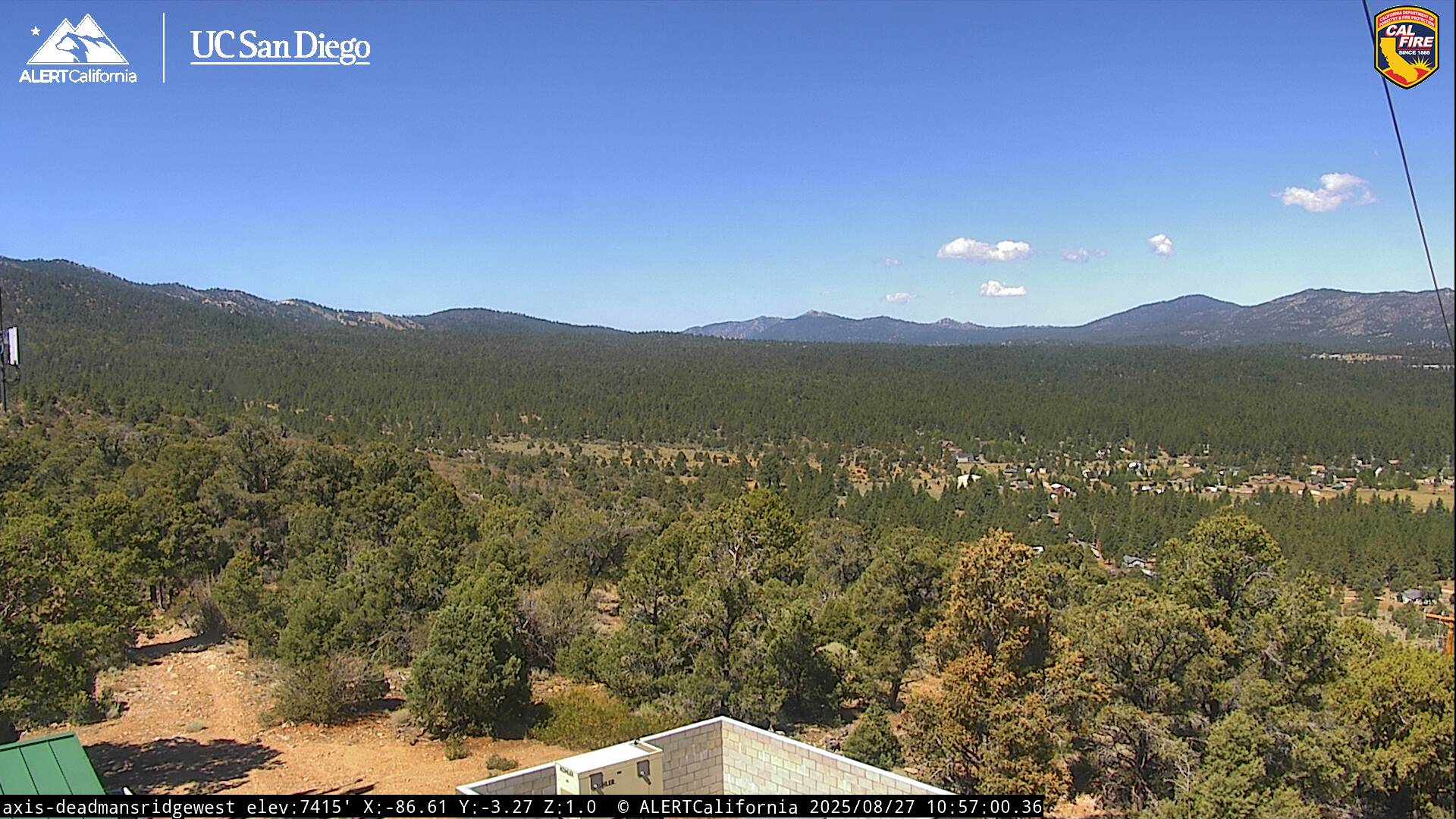
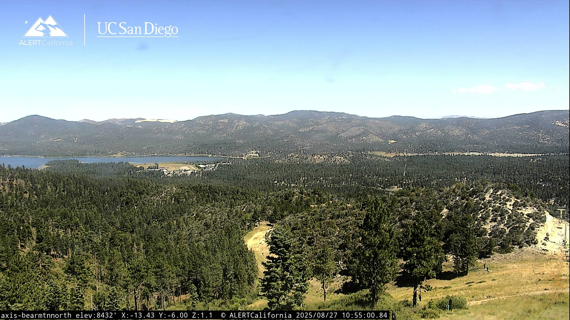
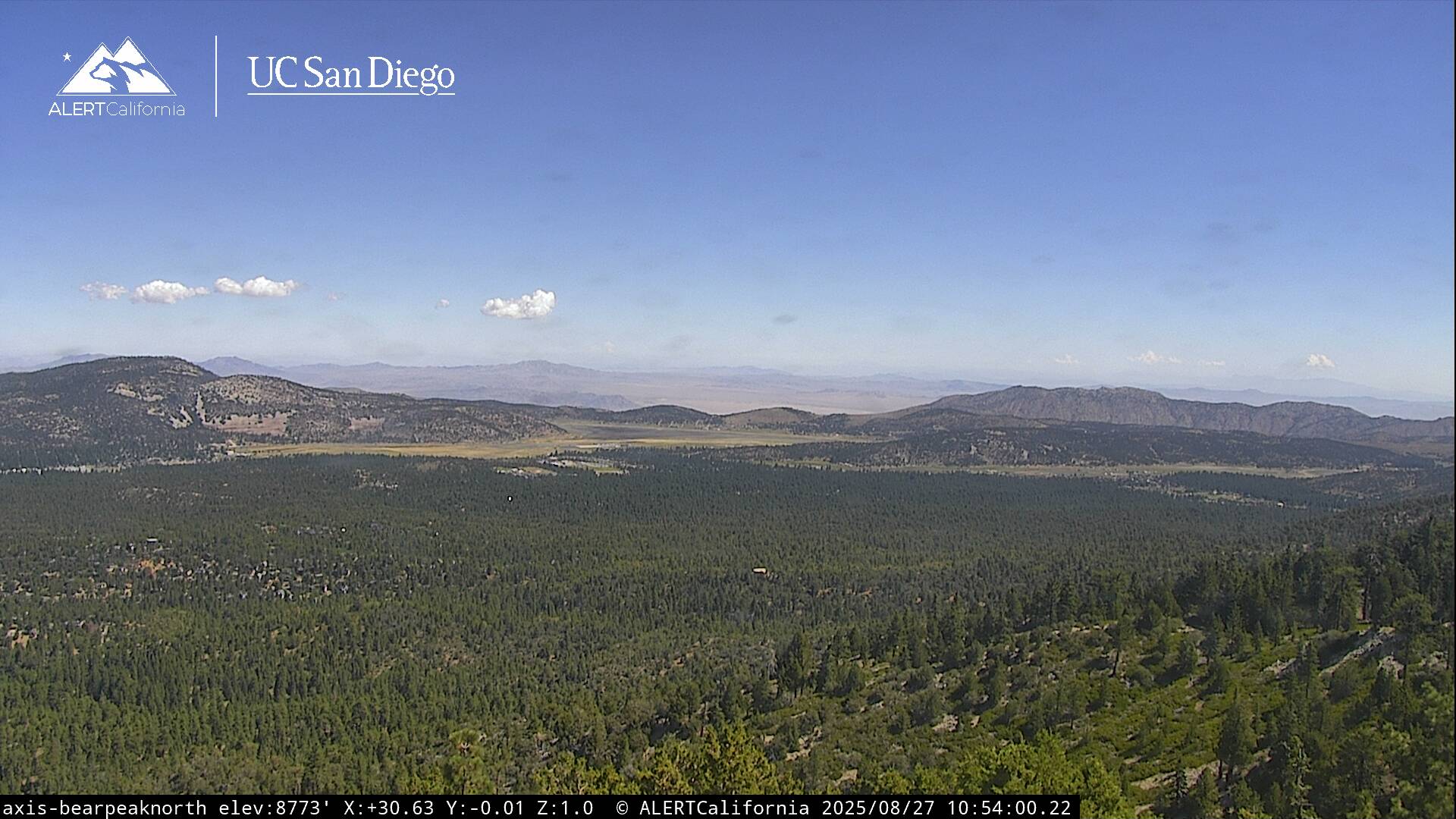
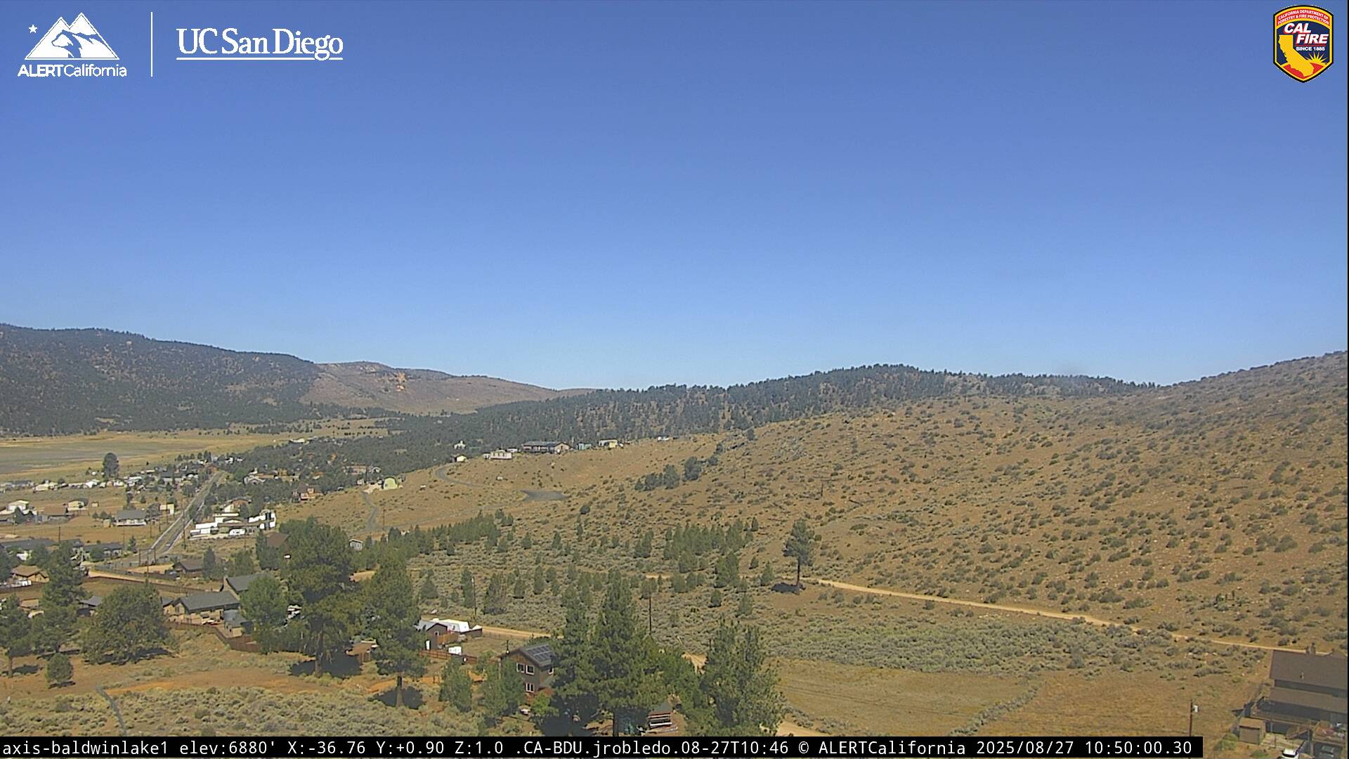
Live Cams