
Monday Mostly Sunny |
Tuesday Sunny |
Wednesday Sunny |
Thursday Sunny |
Friday Sunny |
Saturday Sunny |
Sunday Mostly Sunny |
|
| High: 57 °F | High: 59 °F | High: 60 °F | High: 51 °F | High: 52 °F | High: 55 °F | High: 61 °F | |
Overnight Mostly Clear |
Monday Night Mostly Clear |
Tuesday Night Mostly Clear |
Wednesday Night Mostly Clear |
Thursday Night  Clear |
Friday Night Mostly Clear |
Saturday Night Mostly Clear |
|
| Low: 34 °F | Low: 28 °F | Low: 30 °F | Low: 25 °F | Low: 25 °F | Low: 26 °F | Low: 31 °F | |
Ben's WX Summary
- Updated: Sunday @ 06:08pm
A Pacific storm system will pass harmlessly inland to our north Monday into Tuesday,bringing cooler weather and gusty west winds, but no precipitation. Expect mostly clear skies this evening with light winds and lows in the 30s. Mostly sunny, breezy and cooler Monday and Tuesday as highs drop back into the lower to mid 50s. With the stronger onshore flow, we will experience gusty west winds 15-25 mph at times. Temperatures will remain slightly above average throughout the week into next weekend as our forecast remains dry. Longer range is hinting at possible precipitation after next weekend, but confidence is low at this time.
| Current Conditions | Wind | Rain | Outlook | ||||||||||||||||||||||||||||||||||||
|
|
|
|
||||||||||||||||||||||||||||||||||||
| Humidity & Barometer | Snowfall | Moon | |||||||||||||||||||||||||||||||||||||
|
|
|
|||||||||||||||||||||||||||||||||||||
| UV Index | Solar Radiation | ||||||||||||||||||||||||||||||||||||||
|
|
||||||||||||||||||||||||||||||||||||||


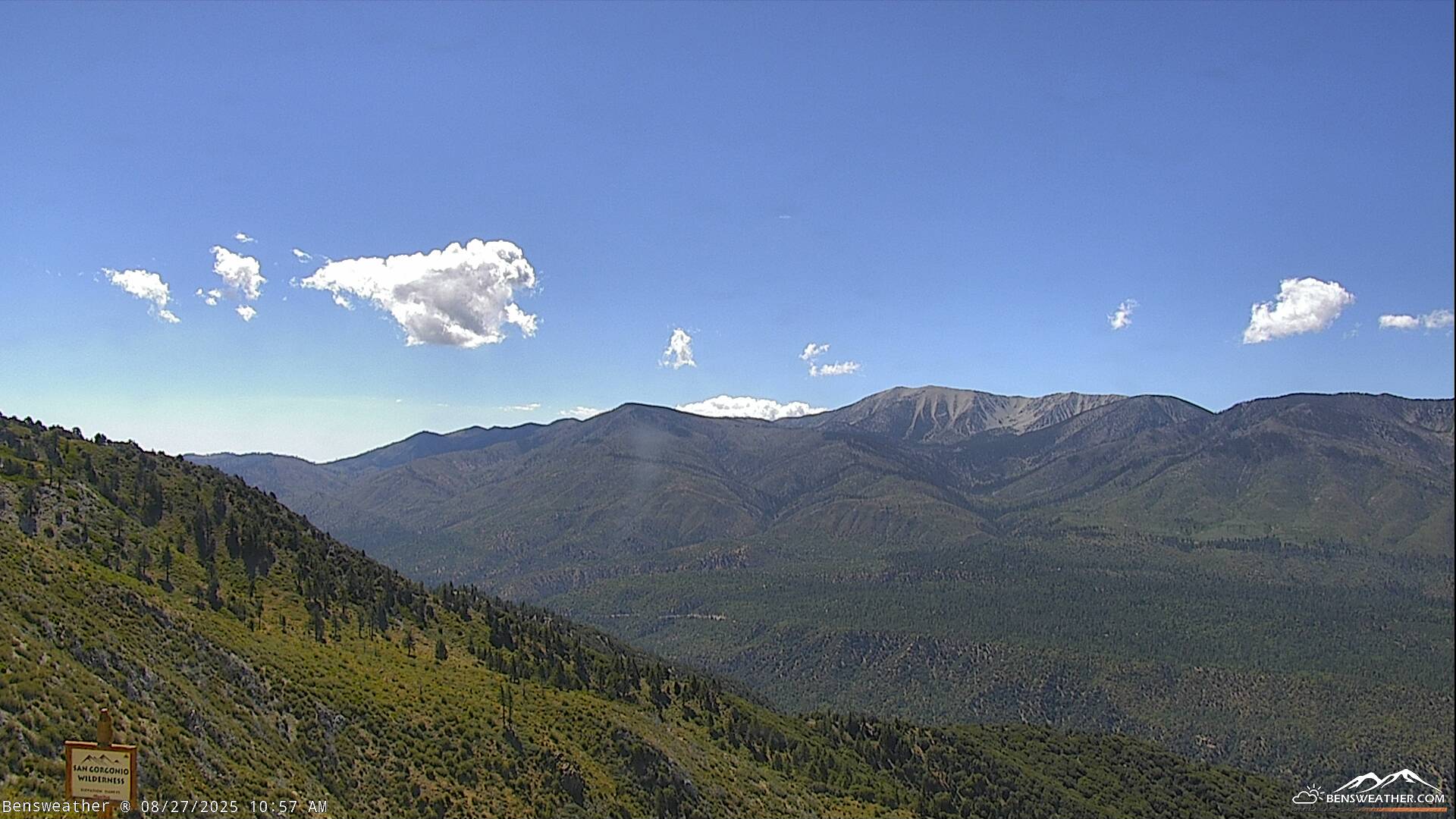
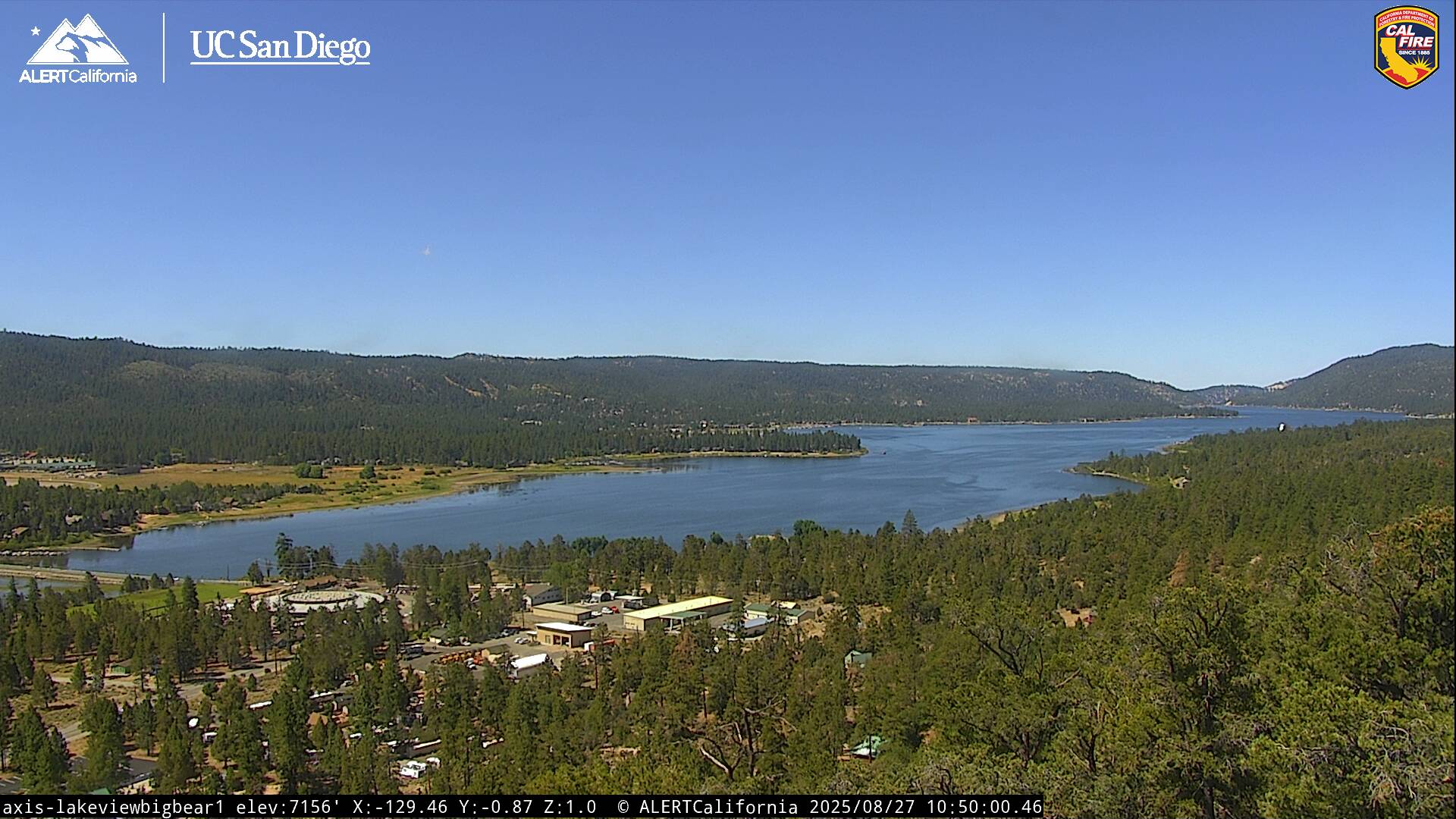
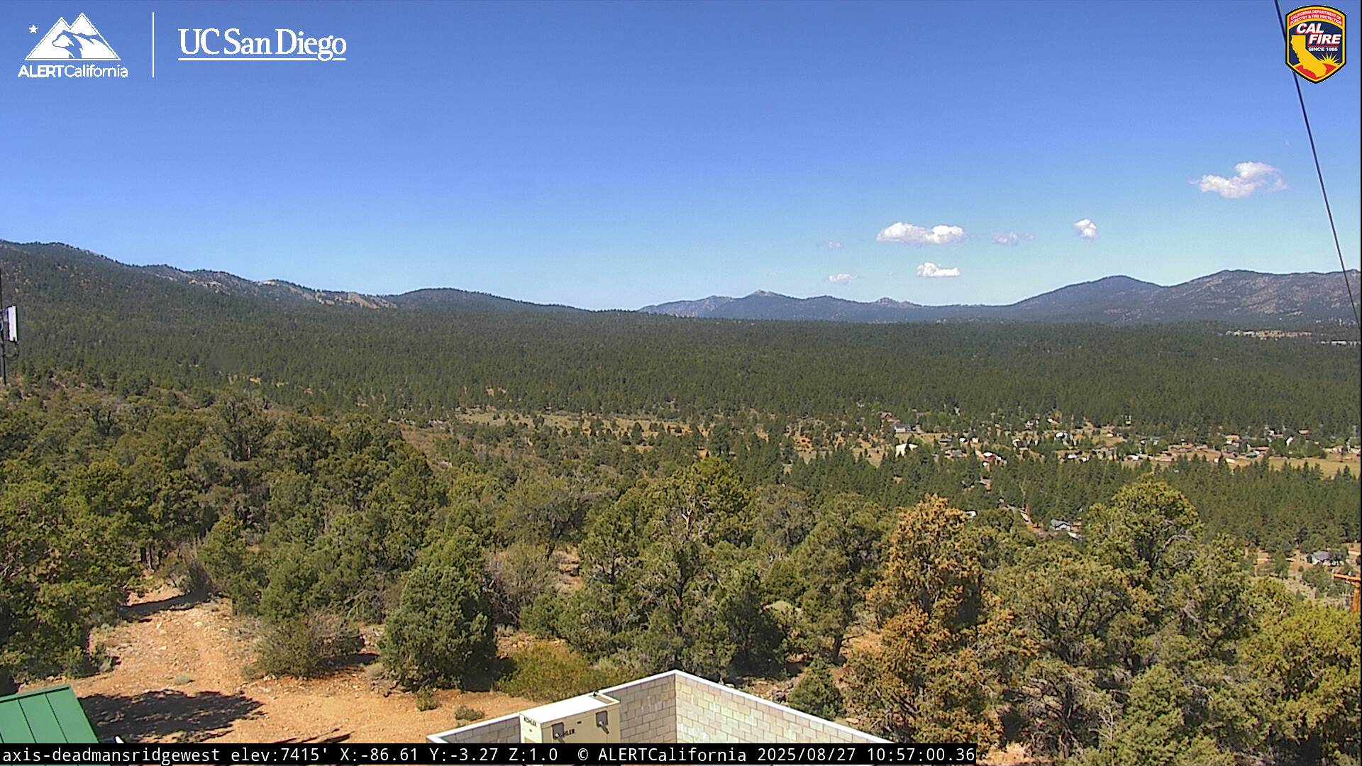
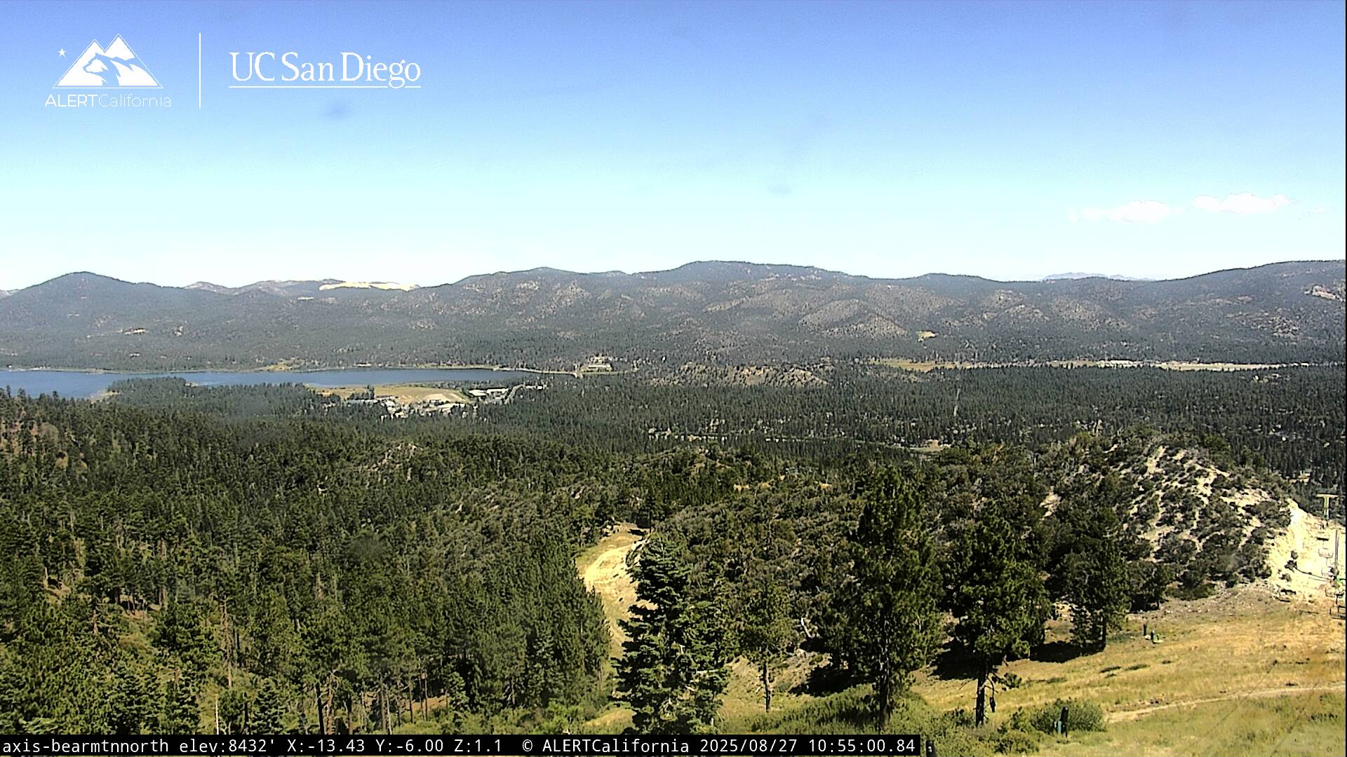
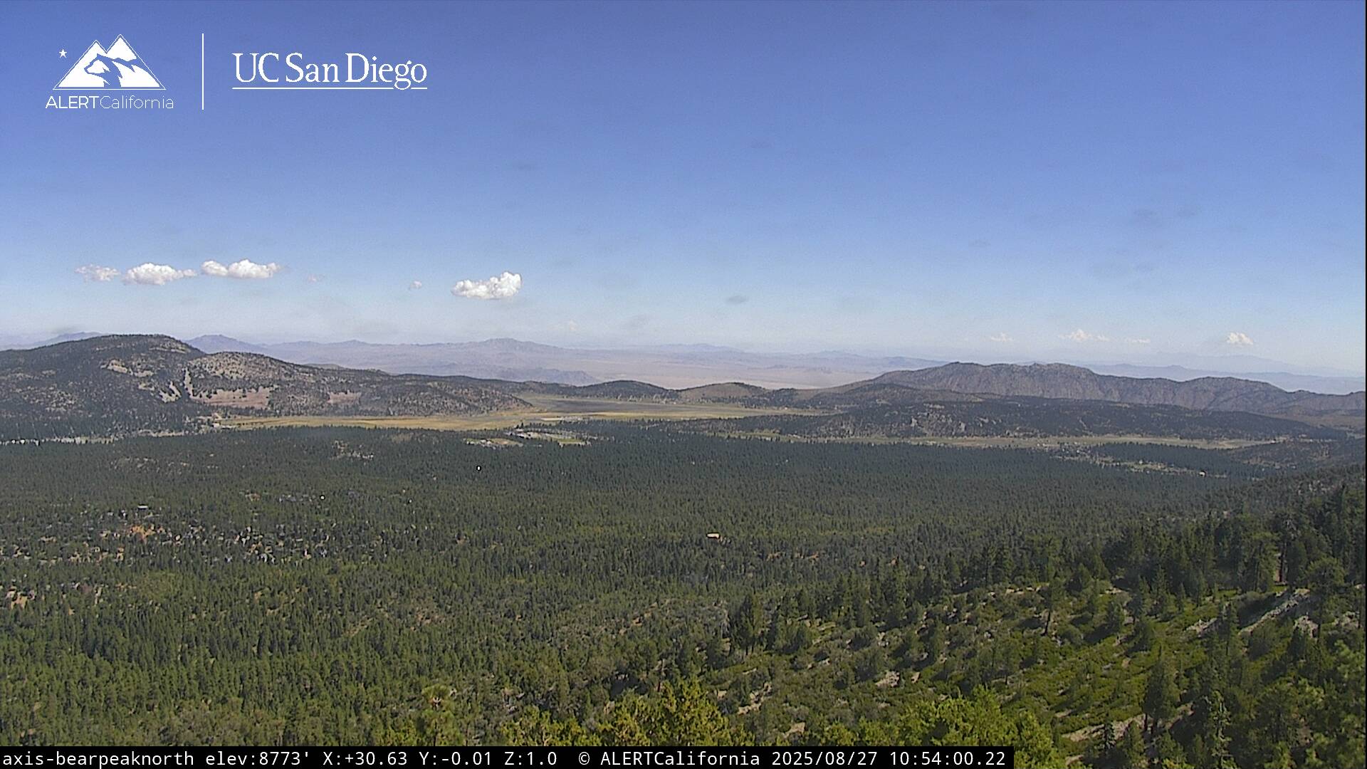
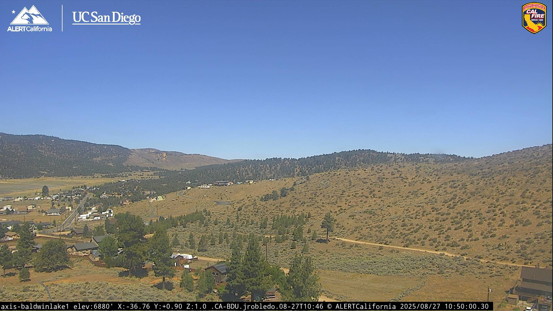
Live Cams