
| This Afternoon  Partly Sunny |
Saturday Sunny |
Sunday Sunny |
Monday Sunny |
Tuesday Sunny |
Wednesday Sunny |
Thursday Sunny |
|
| High: 57 °F | High: 68 °F | High: 73 °F | High: 76 °F | High: 77 °F | High: 79 °F | High: 79 °F | |
Tonight Mostly Clear |
Saturday Night Mostly Clear |
Sunday Night Mostly Clear |
Monday Night  Clear |
Tuesday Night Mostly Clear |
Wednesday Night Clear |
Thursday Night Clear |
|
| Low: 33 °F | Low: 38 °F | Low: 43 °F | Low: 44 °F | Low: 44 °F | Low: 44 °F | Low: 44 °F | |
Ben's WX Summary
- Updated: Friday @ 10:26am
Still looking at some cool and breezy weather out there with temperatures running 10-15 degrees below average. Low pressure to our north will lift northeast and exit the region today, paving the way for much warmer tempertaures this weekend through next week. The cutoff low over Northern California will maintain a strong onshore flow in the meantime, with coastal low clouds and fog, mainly down below. Areas of fog, patchy drizzle, or light rain are possible on the lower coastal slopes. Expect partly cloudy skies today, with some minor warming as daytime highs reach the upper 50s to around 60 degrees. Westerly winds will continue 5-15 mph with gusts near 20 mph possible. As the low moves east this weekend, high pressure will build in from the west, with a nice bump in temperatures, as highs reach the lower 70s by Sunday. We'll also shift to a weak offshore flow with relatively light east winds 5-10 mph. High pressure will intensify next week, pushing daytime temperatures up near 80 degrees with overnight lows in the upper 30s and 40s.
| Current Conditions | Wind | Rain | Outlook | ||||||||||||||||||||||||||||||||||||
|
|
|
|
||||||||||||||||||||||||||||||||||||
| Humidity & Barometer | Snowfall | Moon | |||||||||||||||||||||||||||||||||||||
|
|
|
|||||||||||||||||||||||||||||||||||||
| UV Index | Solar Radiation | ||||||||||||||||||||||||||||||||||||||
|
|
||||||||||||||||||||||||||||||||||||||


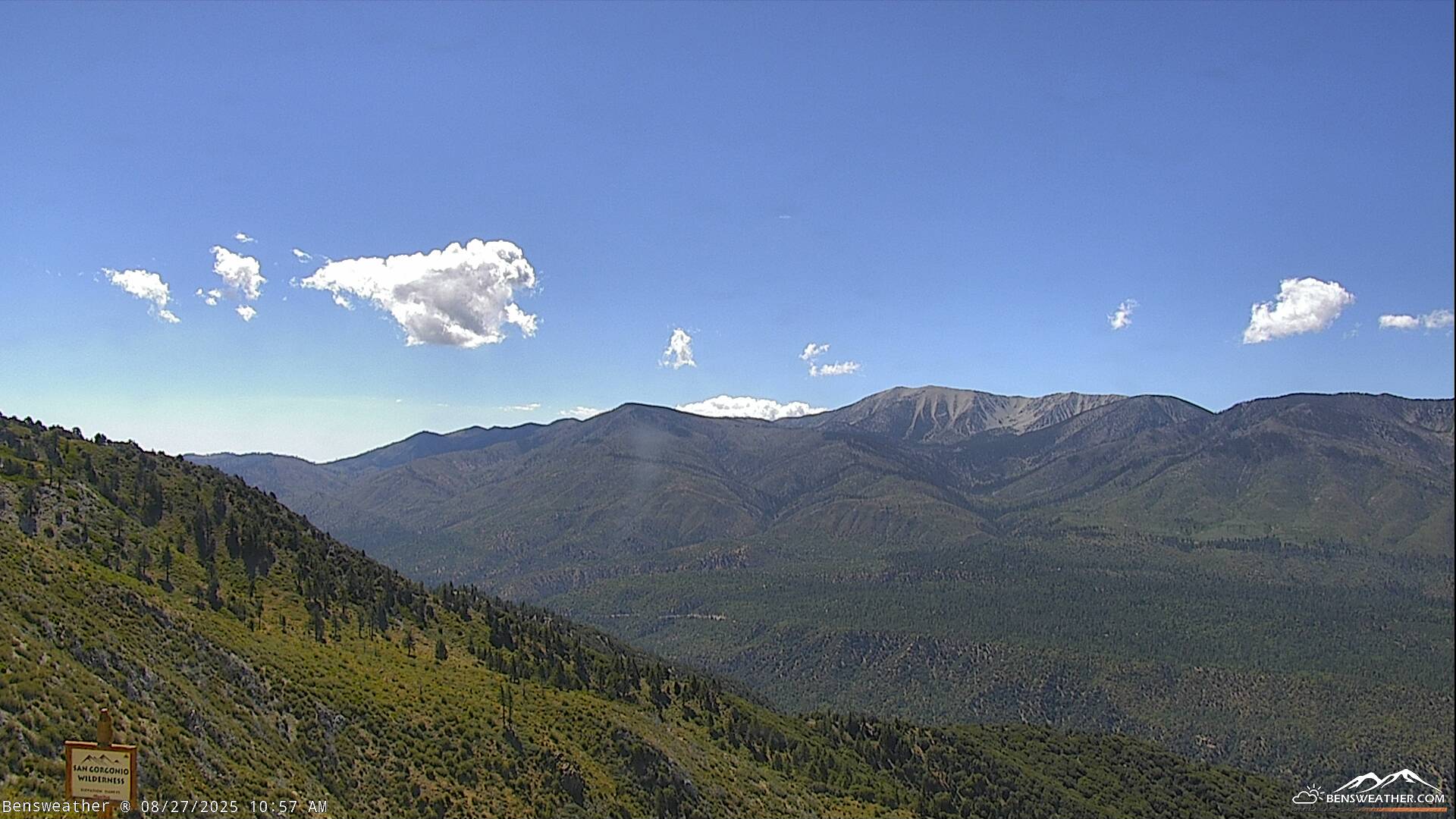
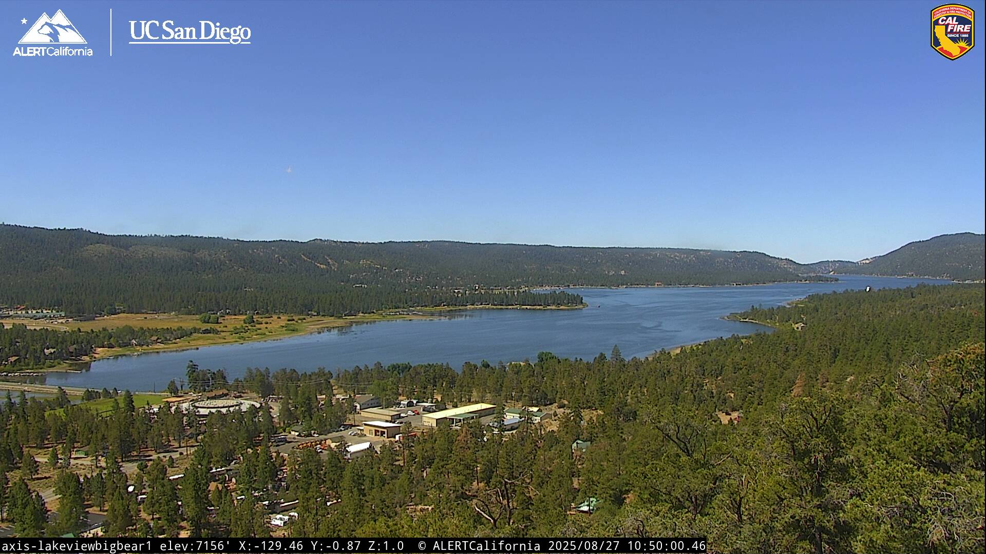
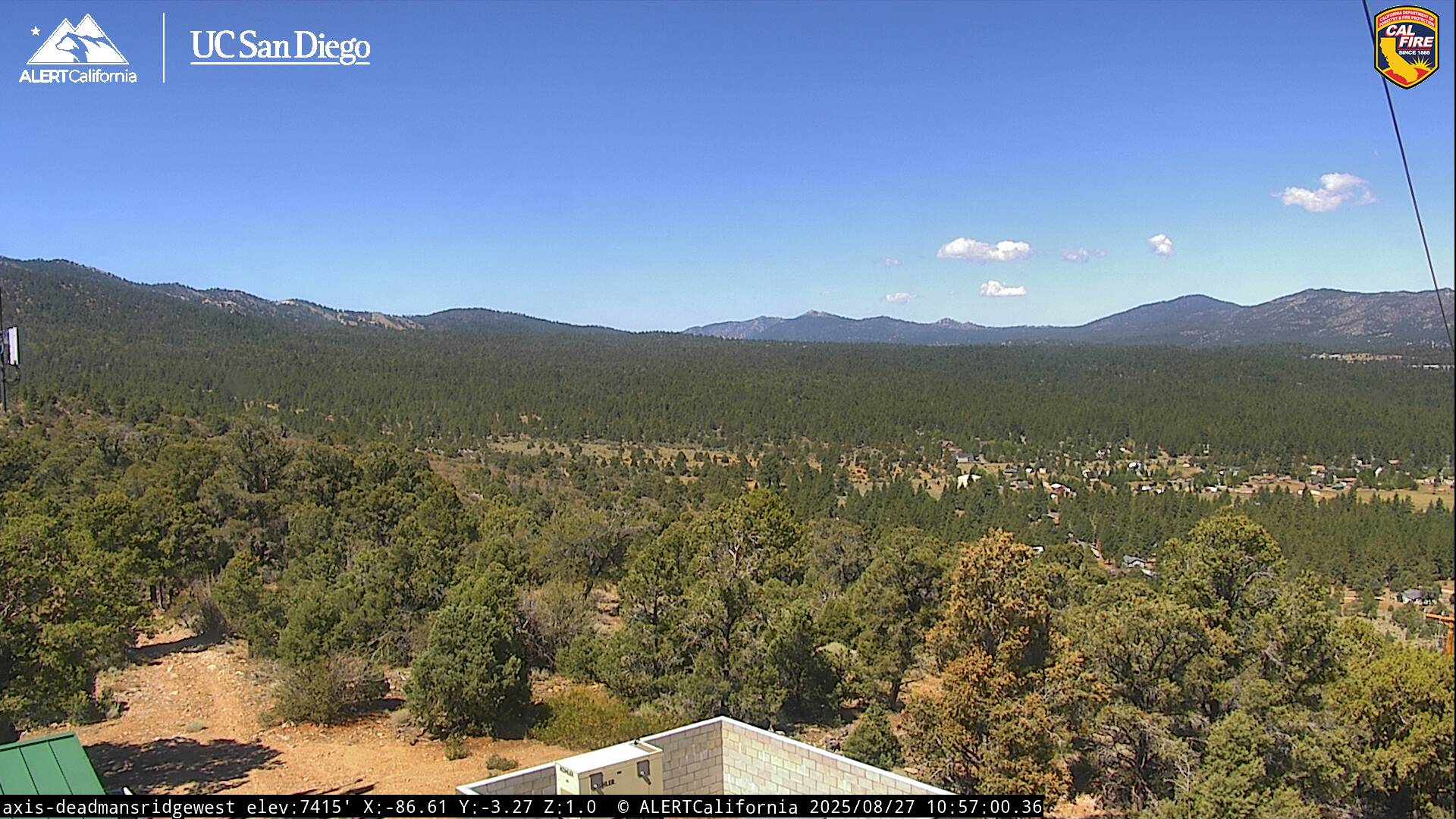
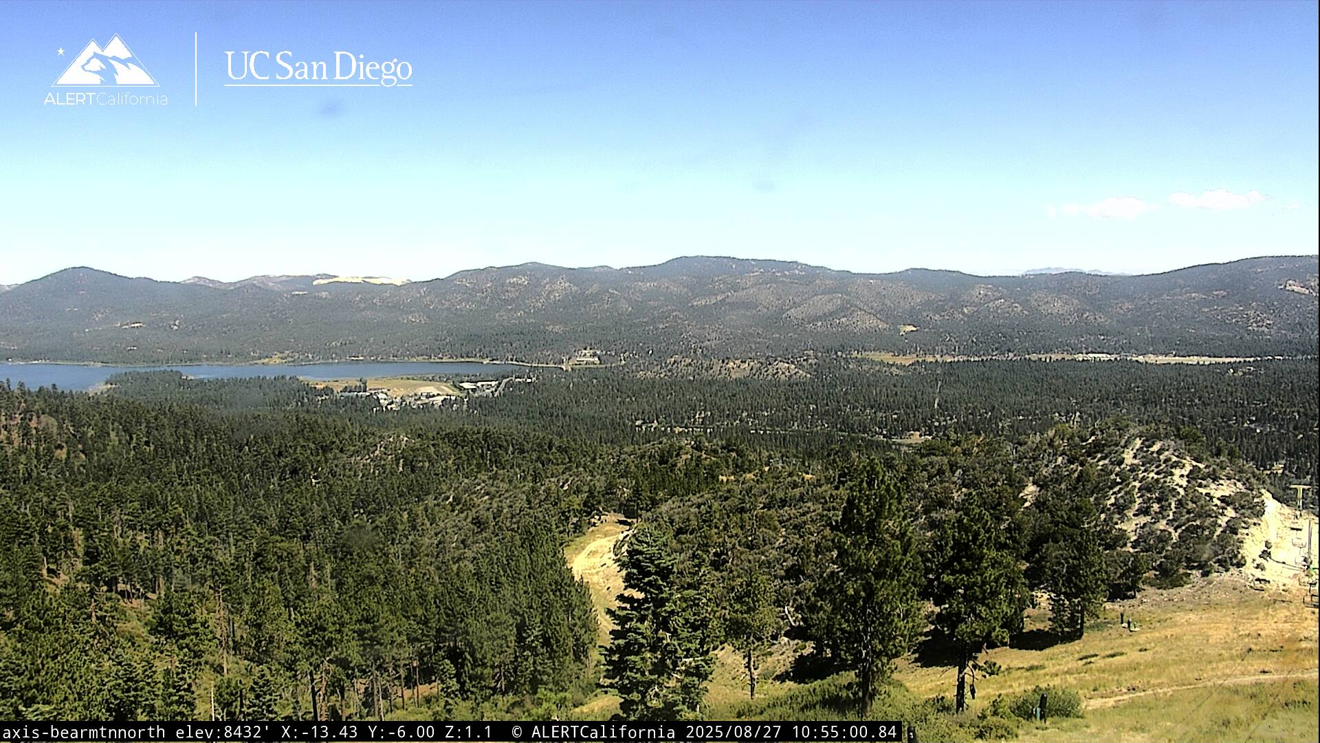
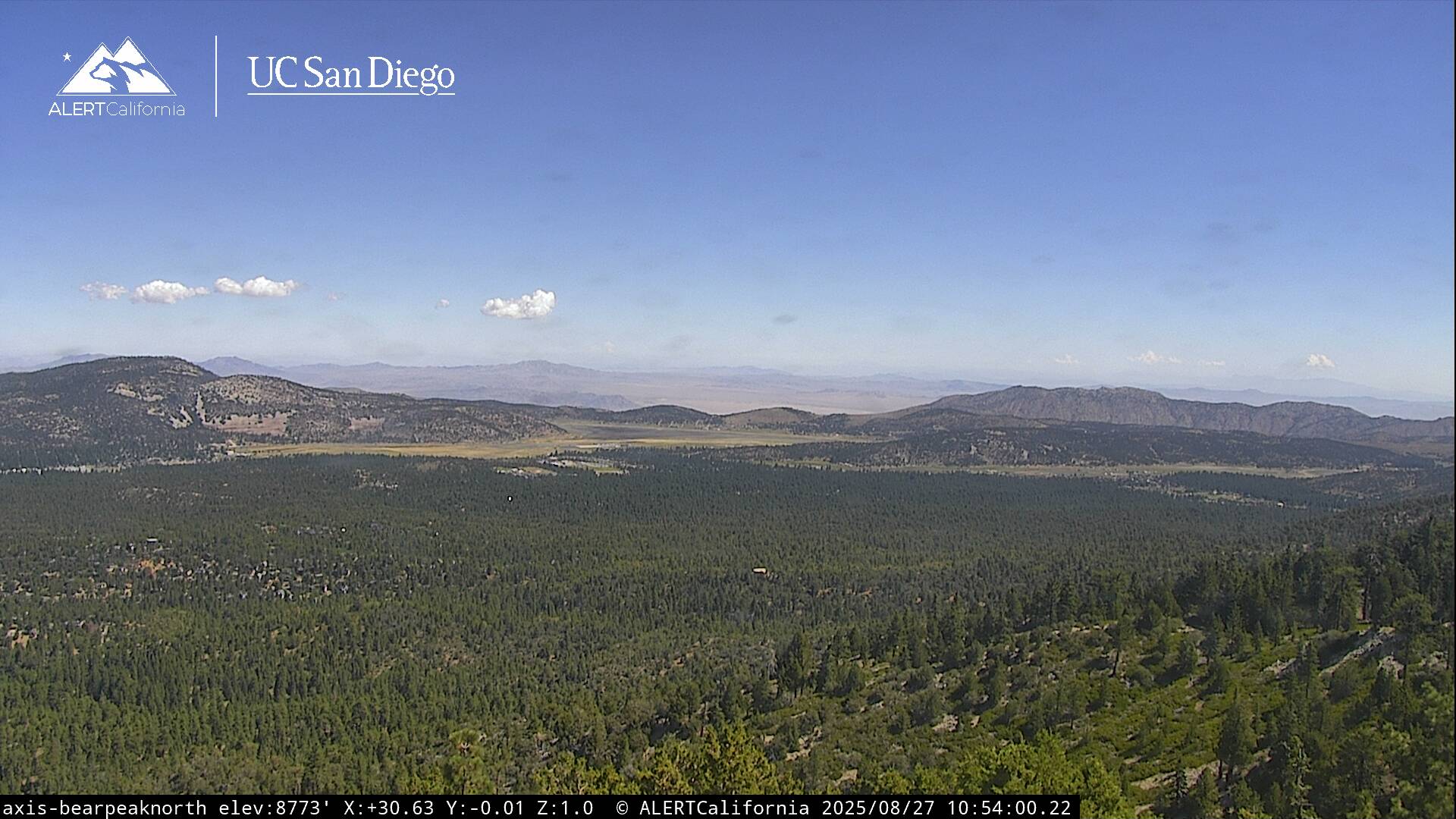
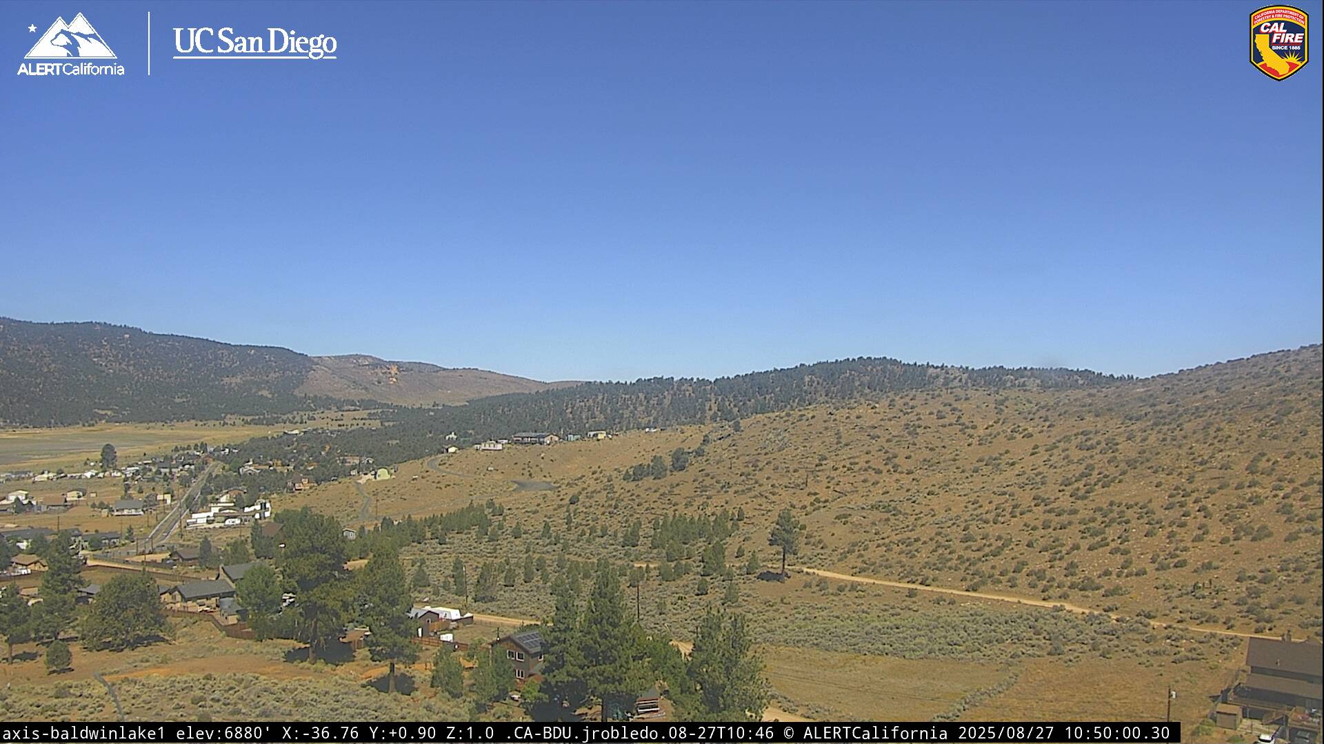
Live Cams